


Online Drone Survey & GIS Course
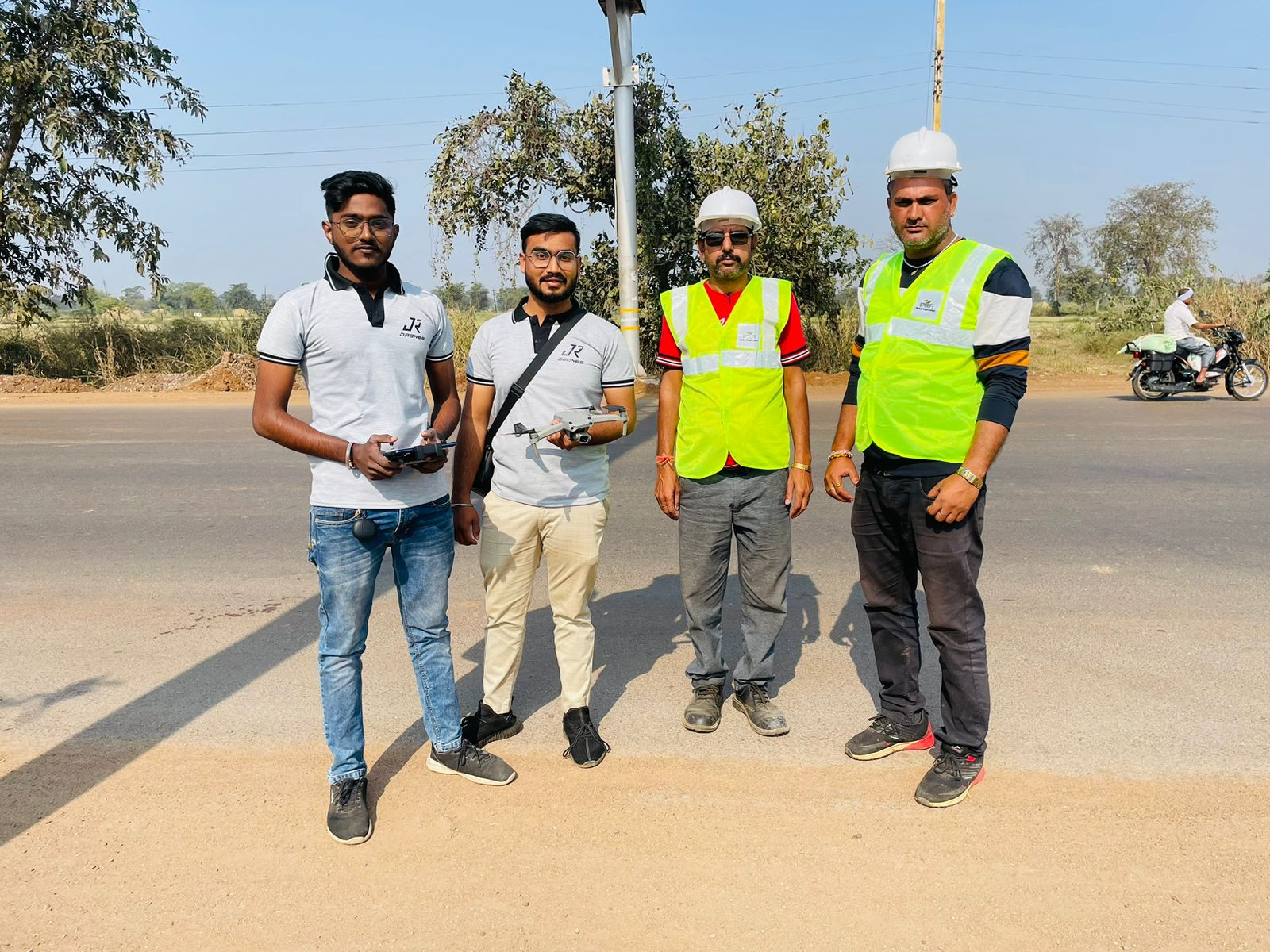
Practical Training of Drone Flying & DGPS
Data Processing on GIS Softwares
Career Guidance on Startup/Business, Freelancing, Job Placement

Online Drone Survey & GIS Course
Practical Training of Drone Flying & DGPS
Data Processing on GIS Softwares
Career Guidance on Startup/Business, Freelancing, Job Placement
"Advance Drone Survey & GIS Course"
12 Days Online Course
LIVE & RECORDED SESSIONS
Introduction to Drones and GIS
- Overview of Drone Types: Multi-rotors, fixed-wing, and hybrid drones
- Drone Components: Flight controllers, GPS, sensors
- Introduction to GIS: Basics of Geographic Information Systems and their role in mapping
Legal Framework and Airspace Regulations
- DGCA Regulations: Understanding legal requirements for drone operations in India
- No-Fly Zones: Identifying restricted areas and compliance with airspace regulations
- Operational Limits: Altitude, range, and no permission, no takeoff (NPNT) policy
Surveying and GIS Data Collection
- Basics of Land Surveying: Traditional vs. drone-based methods
- Flight Planning for GIS: Tools and techniques for efficient data collection
- Data Management: Best practices for storing and organizing GIS data
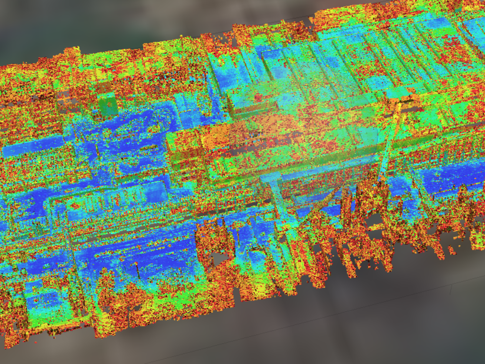
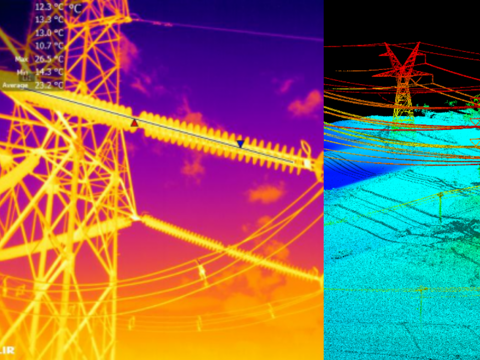
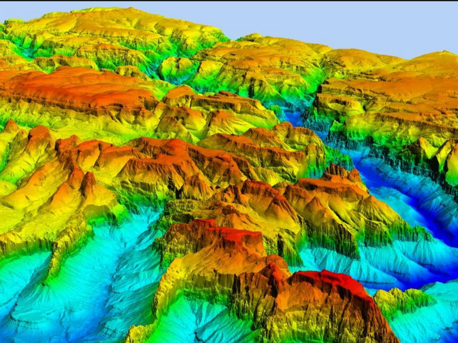
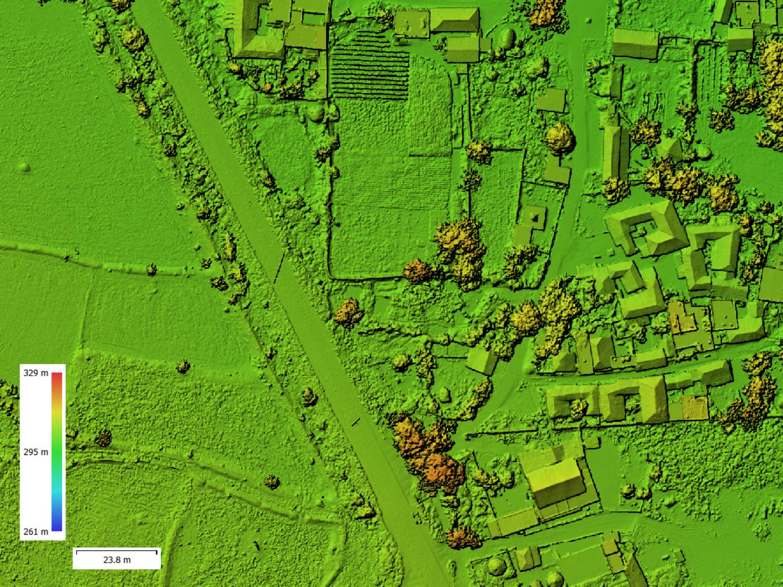
Data Processing and Aerial Mapping
- Photogrammetry: Creating orthomosaic maps and 3D models
- GIS Data Integration: Aligning drone data with GIS systems for analysis
- Advanced Mapping: 3D reconstruction and volume calculations for GIS applications
- Softwares like Agisoft Metashape, Qgis, Drone Deploy, Litchi For autonomous missions executions for different equipments, etc.
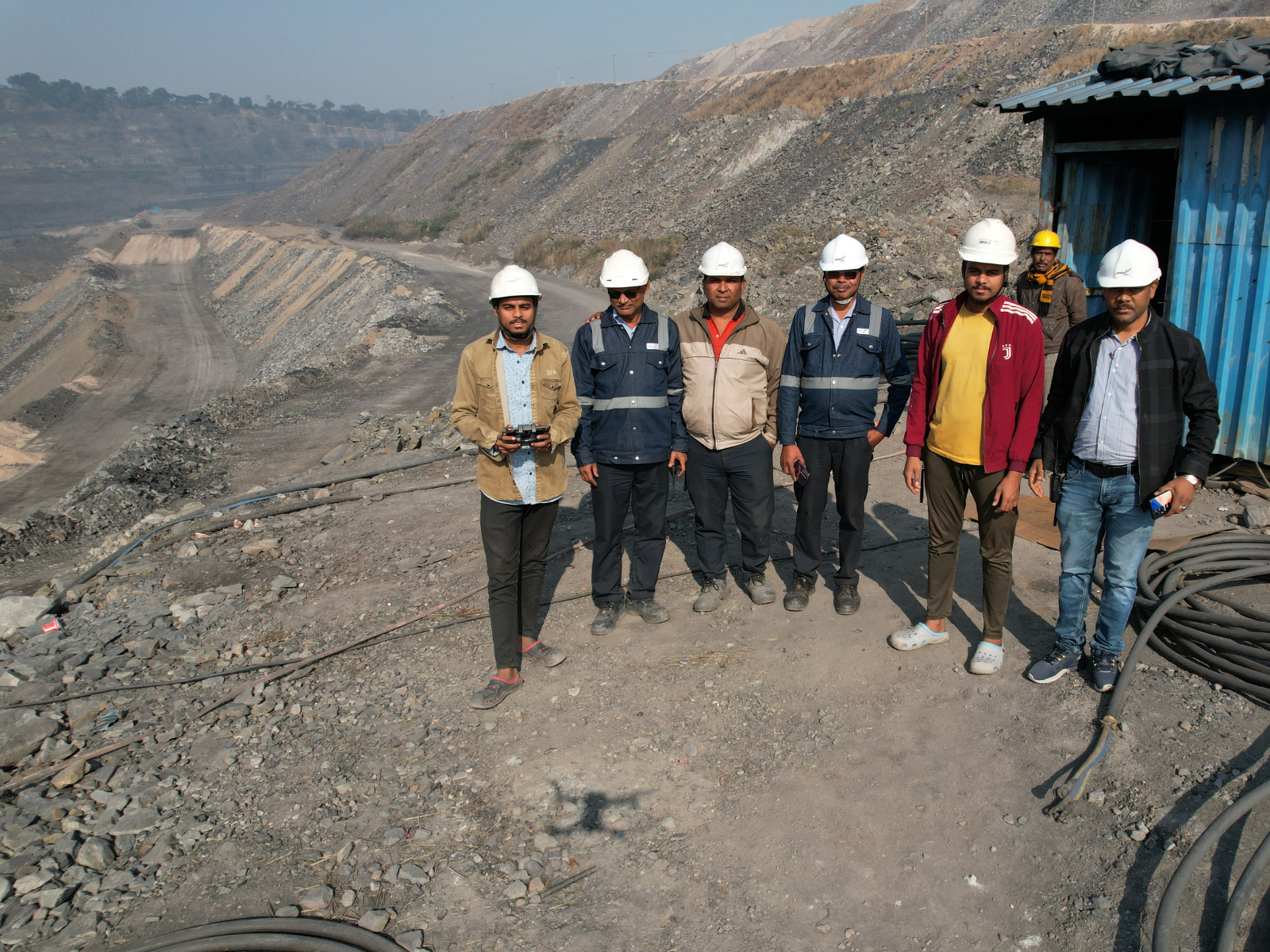
3 Days Practical Training
AT JERA EDUTECH OFFICE, RAIPUR
Drone Flight Training
- Drone Setup, Pre-Flight Checks and Gain hands-on experience in takeoff, hovering, navigation, and landing techniques.
- Autonomous Flight Planning: Use flight planning software to set waypoints and execute autonomous flights for data collection.
DGPS Machine Operations
- Equipment Setup and Calibration: Master the setup and calibration process for DGPS machines to ensure precise data acquisition.
- Practical Data Collection: Conduct field exercises to collect accurate geographic data using DGPS devices.
Career Guidance and Industry Applications
- Exploring Career Opportunities, Discover job prospects in drone surveying, GIS, and related industries, Bidding for Tenders
- Setting Project Rates, Pricing Strategies, Cost Estimation: Understand how to estimate project costs, including equipment, labor, and overheads.
Business/Startup and Freelancing
- Starting Your Own Business: Get insights into registering a business, creating an online presence, and building a client base.
- Freelancing Strategies: Learn how to market your skills, set rates, and secure projects in the competitive drone and GIS market.
Softwares Included:
Agisoft Metashape:
Process aerial images into 2D maps, 3D models, and DEMs.
DroneDeploy:
Plan flights and automate data collection for surveys.
QGIS:
Analyze and integrate spatial data with drone imagery.
AutoCAD Civil 3D:
Design terrain models and calculate volumes.
Google Earth Pro:
Create and manage KML files for mapping.
Litchi:
Optimize drone operations with waypoint flight planning.
Career/Business Opportunities in Sector


“Focus Areas of Our Course”
1. Learn Project Pre-Planning
- Masterthe art of planning efficient drone missions for accurate data collection.
- Learn step-by-step planning for DGPS operations to ensure high precision.
- Understand accurate measures and techniques for collecting reliable data.
2. Learn On-Ground Work
- Gain practical skills to execute drone and DGPS operations effectively.
- Identify critical areas to focus on during field operations.
- Learn the best strategies for optimized data acquisition and operational efficiency.
3. Learn Data Processing & Output Generation
- Understand how to process aerial and terrestrial data for accurate results.
- Learn correct steps and workflows for generating reliable outputs.
- Get hands-on experience with software tools -AutoCAD,Agisoft Metashape, and others.
4. Learn How to Get Clients, Freelancing Work, Jobs, and Tenders
- Learn to start your own Drone and GIS Survey Business.
- Discover strategies to find and secure appropriate freelancing projects.
- Exposure to the job industry and learn how to secure tenders and freelance opportunities.
Batches - Registration
Course Duration : 1 Month (Alternate days in a week)
Upcoming Batch: 20th Feb 2025, 27th Feb 2025, 3rd Mar 2025
English Batches
Price: 3999/-
Hindi + English Batches
Price: 3999/-
Practical Training at JERA EDUTECH Office Raipur, after the completion of Online Classes
CERTIFICATION IN THE LAST DAY AFTER WRITTEN EXAM
About Us
About Us - JERA EduTech
JERA EduTech is a premier institution at the forefront of drone technology and GIS education. As an integral part ofthe foundation laid by JR DRONES, a trailblazer in geospatial innovation, JERA EduTech represents the pinnacle of expertise, experience, and excellence in technical training.
Why Choose JERA EduTech?
- Institution of Excellence: Backed by the proven track record of JR Drones, we deliver unmatched technical and practical knowledge.
- Advanced Learning: Train with cutting-edge drones, DGPS/Total Station devices, and industry-standard software likeAutoCAD and Agisoft Metashape.
- Career Empowerment: From mastering technical skills to excelling in freelancing,tender bidding, and job placements, we pave the way for your professional success.
JERA EduTech isn’t just an educational company—it’s a foundation for your future. Join a transformative institution that turns ambition into achievement and prepares you to lead in the rapidly advancing fields of drone and GIS technology.
Contact
- HIG-22, In front of Bharat Mata School, Main road Tatibandh, Raipur, Chhattisgarh - 492099
- 92442-17567, 95893-66961
- Jeraedutech@gmail.com